The New Zealand Map Grid Projection is especially contrived to present New Zealand in the plainest possible manner, while creating gross distortions throughout the rest of the world. The special tricks needed to do this were only recently invented, and first introduced with the new metric maps in the 1970s.
![[diagram]](error2.jpg)
showing scale error and convergence. The strait lines show true north relative to grid north. The contours show variations in scale, from -0.02% in the centre through 0.00% to +0.02% around the outside of the country.
Within New Zealand the projection preserves correct angles and shapes, and the scale error is limited to below 23 cm per km (see fig 1.). This is insignificant in comparison to map printing errors and natural variations in paper. This allows a rectangular grid to be layed neatly over the country, even though this is not at all possible in reality.
NZMS 260 series Grid
The projection grid is addressed in a number of ways, with variable precision. For the NZMS 260 series, the smallest practical unit of this grid is a 100m x 100m (1 hectare) square which coresponds to a 2mm square on the map. Conventionally, and for this survey, each of these squares is addressed by a six figure number preceded by the map code.
![[Lands + Survey logo]](landsbw2.jpg)
Department of Lands & Survey.
Prior to the invention of the Grid, the NZMS 1 series (which 260 replaced) was projected on a Transverse Mercator projection. The Chatham islands maps are still projected on this system, and are also slightly larger than the mainland New Zealand maps, and this unfortunately means that land on the Chathams was somewhat less likely to be selected for the survey. This under-representation, although outrageous, potentially saved me a trip I could not afford, allowing the survey to be completed.
![[LINZ logo]](landinfo.jpg)
Land Information New Zealand.
It was also fortunate that all of the maps need for the survey had been printed, as some remote areas have not been mapped since the metric system was introduced. Others are into their third edition.
![[logo]](terra.jpg)
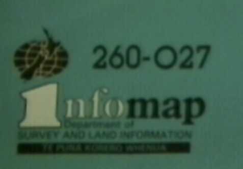
The NZ Map Grid was invented by or for the Department of lands and Survey, and the early NZMS 260 maps printed by V.R. Ward, the Government Printer. Sometime around 1986 the Department became the Department of Survey and Land Information (Te Puna Korero Whenua), NZMS 260 became variously known as Infomap 260 or Topomap. Around 1996 the department became Land Information NewZealand (Toitu te Whenua), a state owned enterprise, and the map printing part became a private company called Terralink.
primary source: Information For Map Users, pamphlet compiled by Department of Survey and Land Information, available from Terralink.
go to: